Travel Guide of Aramoana in New Zealand by Influencers and Travelers
Aramoana is a small coastal settlement 27 kilometres north of Dunedin on the South Island of New Zealand. The settlement's permanent population in the 2001 Census was 261. Supplementing this are seasonal visitors from the city who occupy cribs. The name Aramoana is Māori for "pathway of the sea".
The Best Things to Do and Visit in Aramoana
TRAVELERS TOP 10 :
- Otago Peninsula Motel
- Allans Beach Road
- Shore Excursions in Port Chalmers
- Blueskin Bay
- Mount Cargill
- Sandymount
- Boulder Beach
- Dunedin
- Sandfly Bay
- Dunedin Railways
1 - Otago Peninsula Motel
9 km away
The settlement of Harington Point lies within the boundaries of the city of Dunedin, New Zealand. It is located at the Otago Heads, at the northeastern end of Otago Peninsula, close to the entrance of Otago Harbour.
Learn more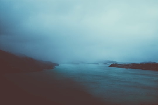
2 - Allans Beach Road
10 km away
Allans Beach is a white sand beach on the Pacific Ocean coast of Otago Peninsula, in the South Island of New Zealand. It forms the seaward shore of a large spit at the entrance to Hoopers Inlet.
Learn more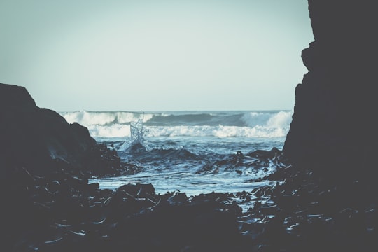
3 - Shore Excursions in Port Chalmers
9 km away
While you’re in port in Dunedin, explore the history and landscapes of the Otago Peninsula on this 7.5-hour tour. Travel through Dunedin as a guide points out local landmarks including Baldwin Street and the historic railway station. Stroll among the flowerbeds of the pretty Larnach Castle gardens, and upgrade to include entry to Larnach Castle — where New Zealand’s Victorian history comes to life. Then, head along the Otago Peninsula — home to native albatross, fur seals, penguins, and sea lions. This tour includes pickup and drop-off at Port Chalmers in Dunedin.
Book this experience
4 - Blueskin Bay
11 km away
Blueskin Bay is an estuary in coastal Otago, about 25 km north of Dunedin, New Zealand. The name also unofficially describes the rural district which includes the northern slopes of Mount Cargill, the southern slopes of the Kilmog, and the townships of Doctors Point, Waitati, Evansdale, Warrington, and Seacliff.
View on Google Maps Book this experience
5 - Mount Cargill
12 km away
Mount Cargill, known in Māori as Kapukataumahaka, is a volcanic outcrop which dominates the skyline of northern Dunedin, New Zealand. The peak is named for Captain William Cargill, an early leader of the Province of Otago.
Learn more Book this experience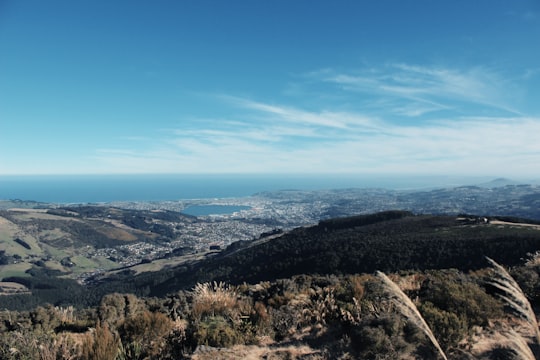

6 - Sandymount
12 km away
Sandymount is the name of a prominent hill on Otago Peninsula, in the southeastern South Island of New Zealand. It is 13 kilometres east of the city centre of Dunedin, close to the northeastern end of Sandfly Bay, and rises to a height of 312 metres.
Learn more Book this experience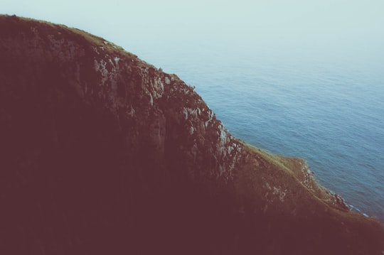
7 - Boulder Beach
14 km away
Boulder Beach is a rocky beach which is located on the Pacific side of the Otago Peninsula, New Zealand. Boulder Beach can be accessed by a number of walking tracks.
Learn more Book this experience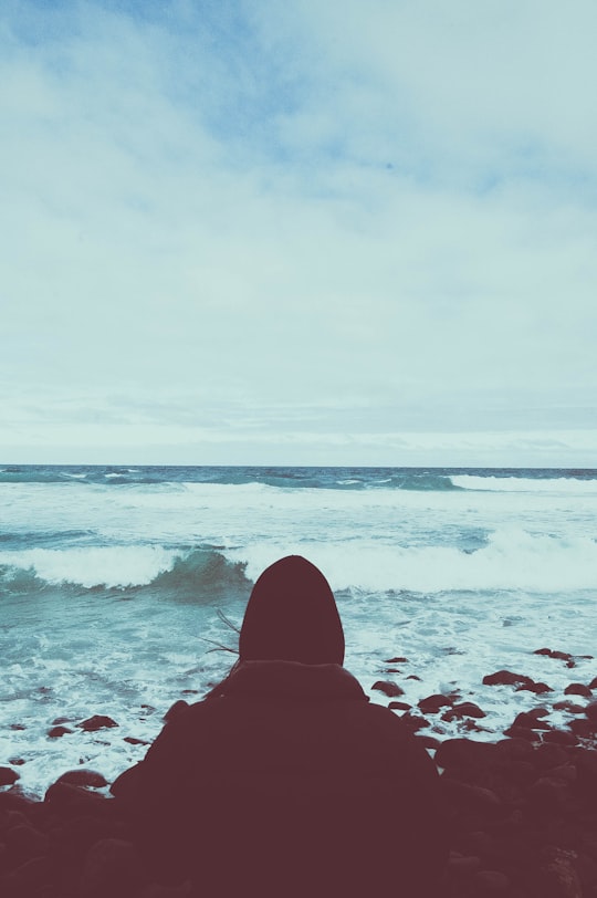
8 - Dunedin
14 km away
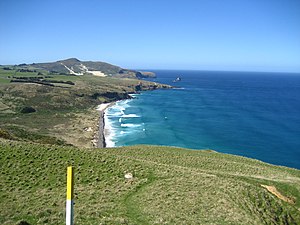
Dunedin is the second-largest city in the South Island of New Zealand, and the principal city of the Otago region. Its name comes from Dùn Èideann, the Scottish Gaelic name for Edinburgh, the capital of Scotland.
Learn more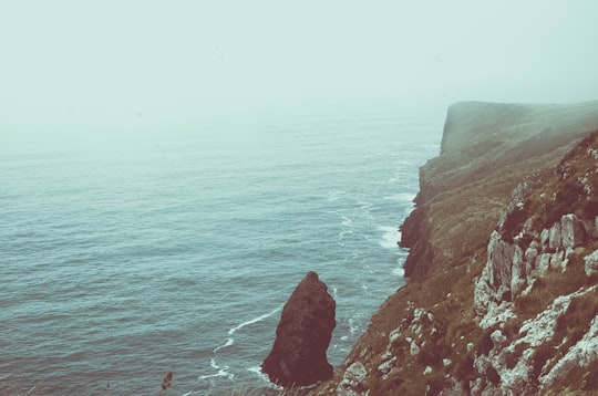
9 - Sandfly Bay
15 km away
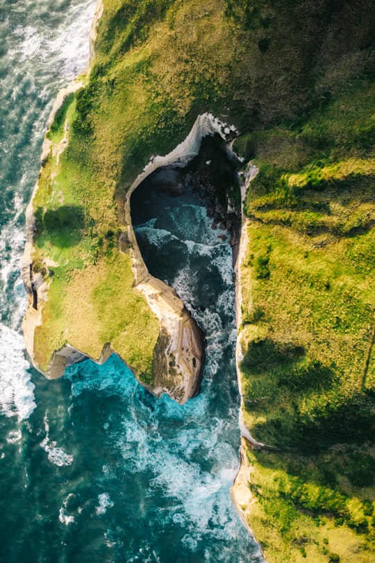
Sandfly Bay is a sandy bay with large dunes 15 kilometres east of central Dunedin, New Zealand. Located on the southern side of Otago Peninsula, between Seal Point and the Gull Rocks on the western side of Sandymount, Sandfly Bay is a Department of Conservation wildlife reserve frequented by trampers.
Learn more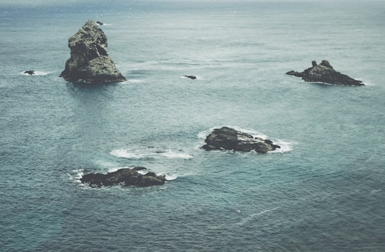
10 - Dunedin Railways
18 km away
Dunedin Railways is an operator of a railway line and tourist trains based at Dunedin Railway Station in the South Island of New Zealand.
Learn more Book this experience

11 - Dunedin Town Hall
18 km away
The Dunedin Town Hall, also known as the Dunedin Centre, is a municipal building in the city of Dunedin in New Zealand. It is located in the heart of the city extending from The Octagon, the central plaza, to Moray Place through a whole city block.
View on Google Maps Book this experience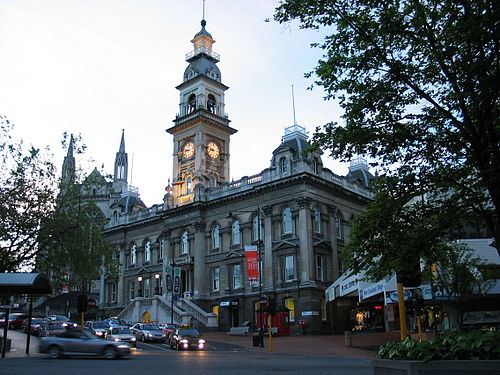
12 - Tunnel Beach
24 km away
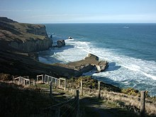
Tunnel Beach is a locality 7.5 kilometres southwest of the city centre of Dunedin, New Zealand. Located just south of St Clair, Tunnel Beach has sea-carved sandstone cliffs, rock arches and caves.
Learn more Book this experience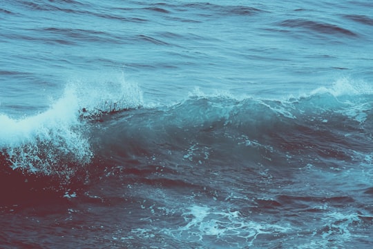
13 - Moeraki
47 km away
Moeraki is a small fishing town on the east coast of the South Island of New Zealand. It was once the location of a whaling station.
Learn more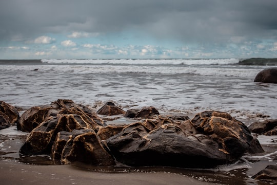
Disover the best Instagram Spots around Aramoana here
Book Tours and Activities in Aramoana
Discover the best tours and activities around Aramoana, New Zealand and book your travel experience today with our booking partners
Pictures and Stories of Aramoana from Influencers
Picture from Tomas Sobek who have traveled to Aramoana
Plan your trip in Aramoana with AI 🤖 🗺
Roadtrips.ai is a AI powered trip planner that you can use to generate a customized trip itinerary for any destination in New Zealand in just one clickJust write your activities preferences, budget and number of days travelling and our artificial intelligence will do the rest for you
👉 Use the AI Trip Planner
Why should you visit Aramoana ?
Travel to Aramoana if you like:
🐾 WildlifeLearn More about Aramoana
Aramoana is a coastal village on the South Island of New Zealand. Its name is derived from the Maori language and means "way of the sea".
Aramoana Beach in New Zealand is located on Heyward Point Reserve. This beach is full of shells. They are absolutely everywhere! It's hard not to crush them in some places.
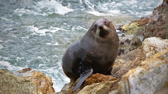
At the end of the beach the rocks are the sea lions' deckchairs. And as on the other beaches mentioned, it is possible at the right times to see penguins.
Aramoana Beach is also a moderately used 2.7 kilometer round trip trail.
The trail offers scenic views and is rated as easy. The trail offers several activities.
Not far away, you can discover the Taiaroa Head, a natural site.
It is the northern tip of the peninsula, a nature center for albatrosses (access fee is charged but albatrosses are visible on windy days). Also a viewpoint for little blue penguins.
If you are looking for a quiet, soothing destination surrounded by nature, don't hesitate and discover Aramoana.
Frequently Asked Questions by Travelers planning a trip to Aramoana
To get to Aramoana, you can land at Christchurch International Airport, located about 4 hours from the city.
You can then take the car to get there.
Where to Stay in Aramoana
Discover the best hotels around Aramoana, New Zealand and book your stay today with our booking partner booking.com
More Travel spots to explore around Aramoana
Click on the pictures to learn more about the places and to get directions
Discover more travel spots to explore around Aramoana
🐾 Wildlife spotsTravel map of Aramoana
Explore popular touristic places around Aramoana
